
Old maps of Connecticut
112 places, 1,060 USGS topographic maps from 1889 to 2001. Pick a town to see every edition.
Prepared in Connecticut
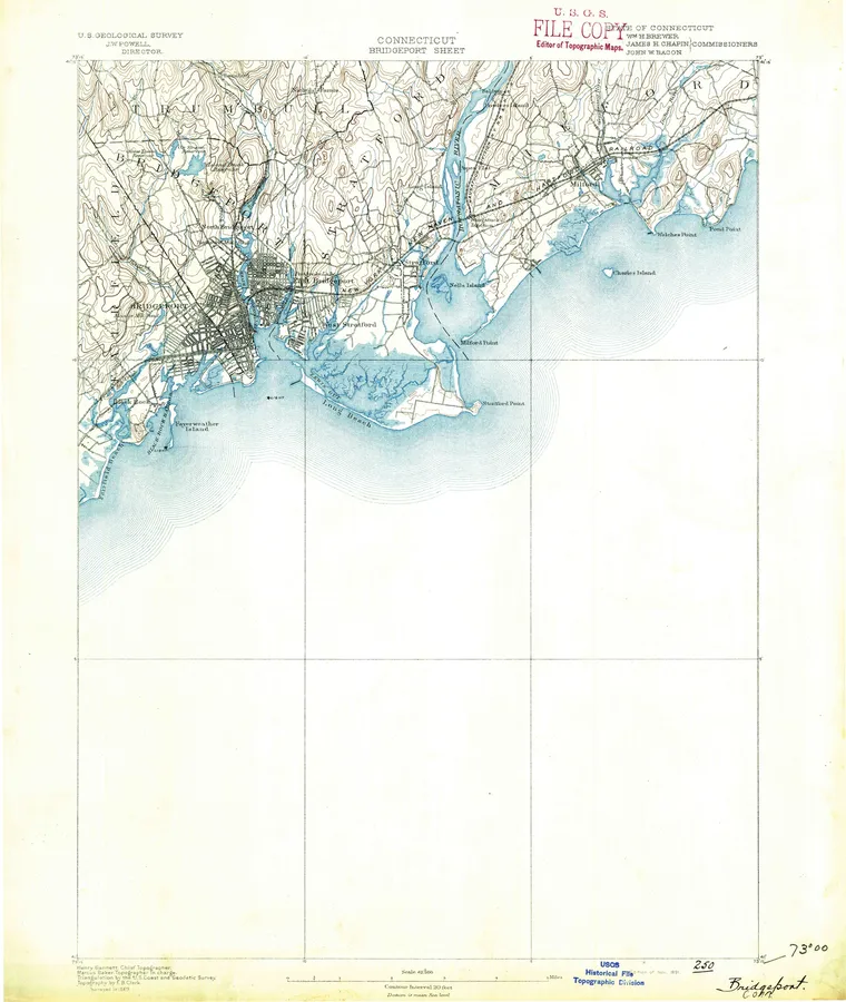
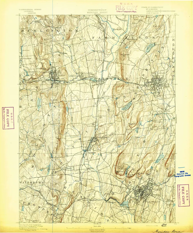
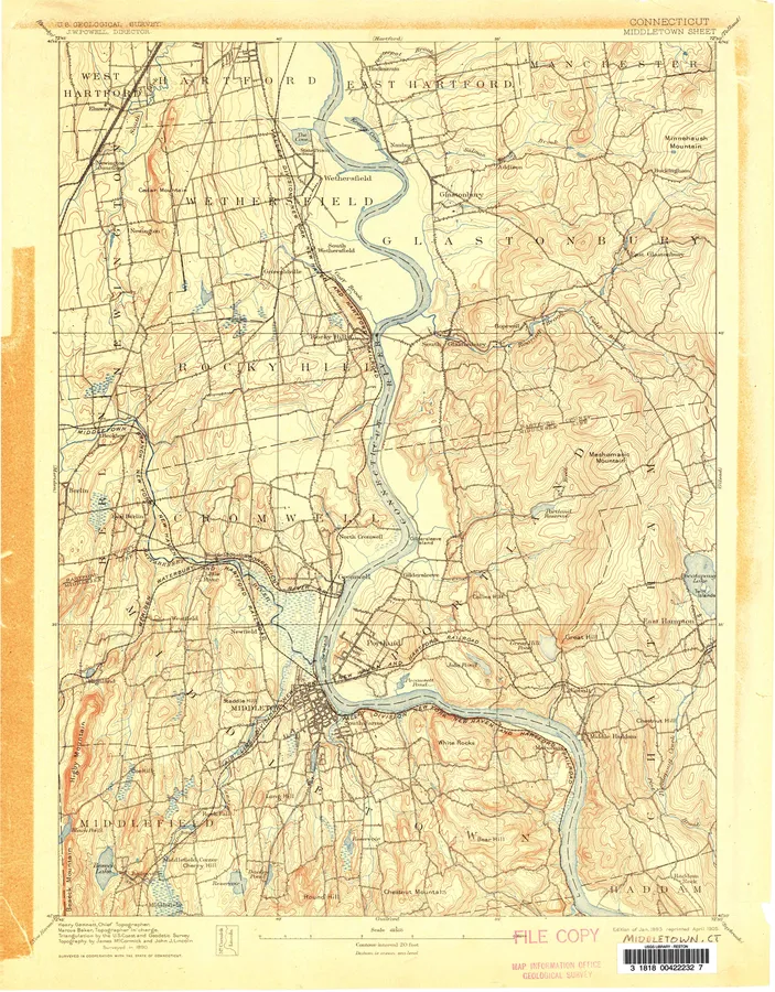
12 with full previews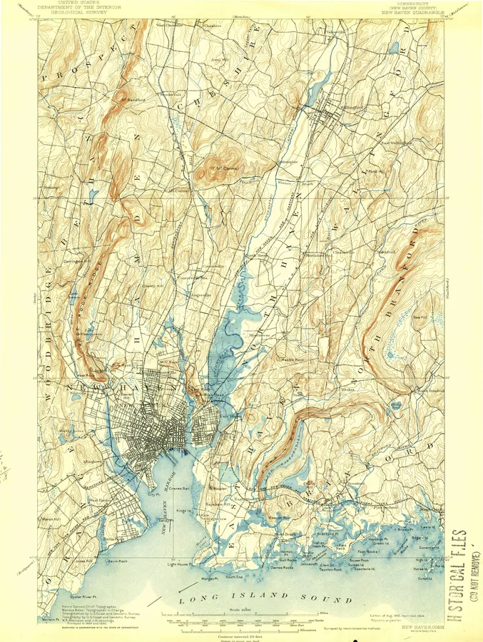
Connecticut, A to Z
Number of editions after each name; ● full previewB
- Bethel 7
- Block Island 2
- Botsford 10
- Branford 7
- Bridgeport 21 ●
- Bristol 8
- Broad Brook 11
C
D
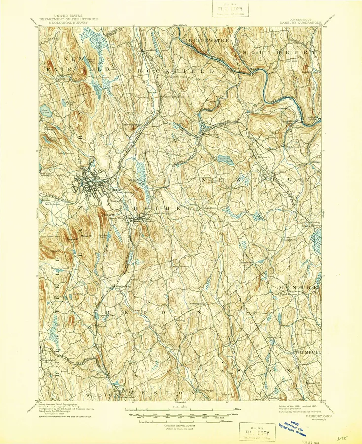
- Danbury 18 ●
- Danielson 9
- Deep River 9
- Derby 11
- Durham 9
F
G
- Gilead 7
- Glastonbury 12
- Glenville 8
- Granby 8
- Guilford 17
H
- Haddam 6
- Hamburg 7
- Hampton 8
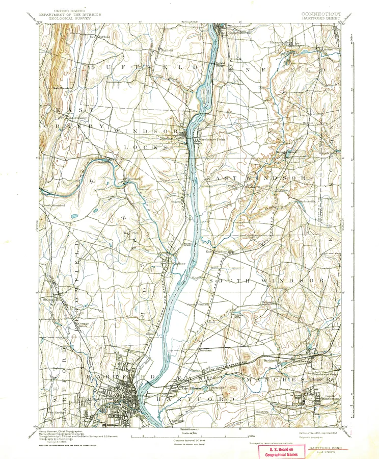
- Hartford 21 ●
- Hartford North 11 ●
- Hartford South 12 ●
J
- Jewett City 11
K
- Kent 6
L
- Litchfield 12
- Long Hill 7
- Long Meadow 1
- Lyme 4
M
- Manchester 12
- Marlboro 5
- Marlborough 8
- Meriden 22 ●
- Middle Haddam 10
- Middletown 20 ●
- Milford 8
- Mittineague 1
- Montville 9
- Moodus 9
- Moosup 9
- Mount Carmel 8
- Mystic 8
N
- Naugatuck 11
- New Britain 12
- New Hartford 8
- New Haven 29 ●
- New London 20
- New Milford 22
- New Preston 9
- Newtown 7
- Niantic 10
- Norfolk 7
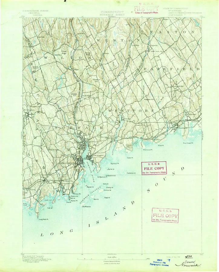
- Norwalk 13 ●
- Norwalk North 11 ●
- Norwalk South 9 ●
- Norwich 17
O
- Old Lyme 6
- Old Mystic 7
- Oneco 8
P
- Plainfield 12
- Putnam 19
S
U
V
- Voluntown 10
W
- Wallingford 6
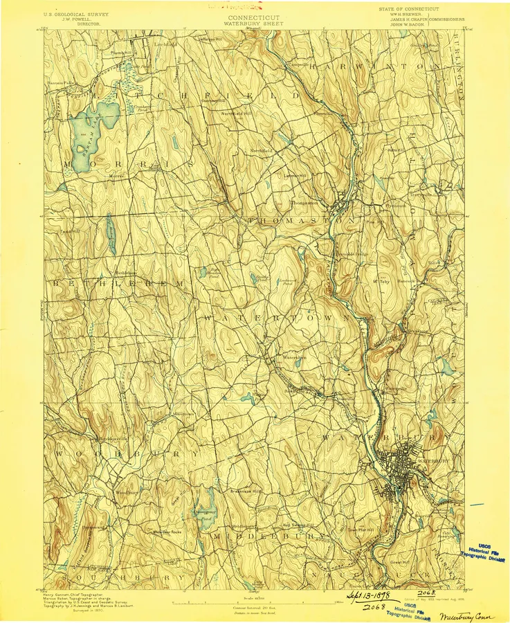
- Waterbury 20 ●
- West Torrington 7
- Westford 8
- Westport 10
- Willimantic 9
- Windsor 1
- Windsor Locks 9
- Winsted 20
- Woodbury 8
- Woodmont 5
- Woodstock 7
Every sheet here is a public domain map made by the U.S. Geological Survey. We print reproductions of the published sheets from USGS's scans. We are not affiliated with or endorsed by the U.S. Geological Survey.