
Old maps
Old maps of your town
Real U.S. Geological Survey topographic maps, from the 1880s on. Find your town, pick the year, and we print the whole sheet as an art print, a framed print or a canvas.
- Find your town. 63,435 map areas in every state, with 186,060 printed editions between them.
- Pick a year. Most towns were mapped several times, so you can choose the year your family arrived, or the one before the highway.
- We print the whole sheet. Border, title and legend included, from USGS's 300 dpi scan, in sizes the scan prints sharply.
Maps we've prepared
Full previews, ready to print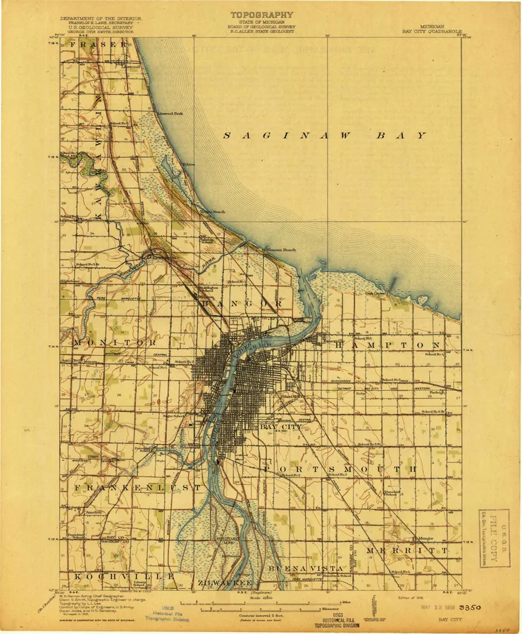 Bay City, MI7 editions, 1916 to 1984
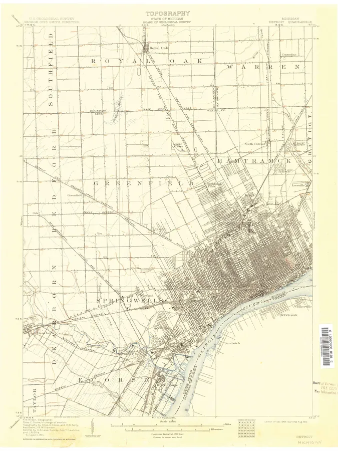 Detroit, MI22 editions, 1905 to 1989
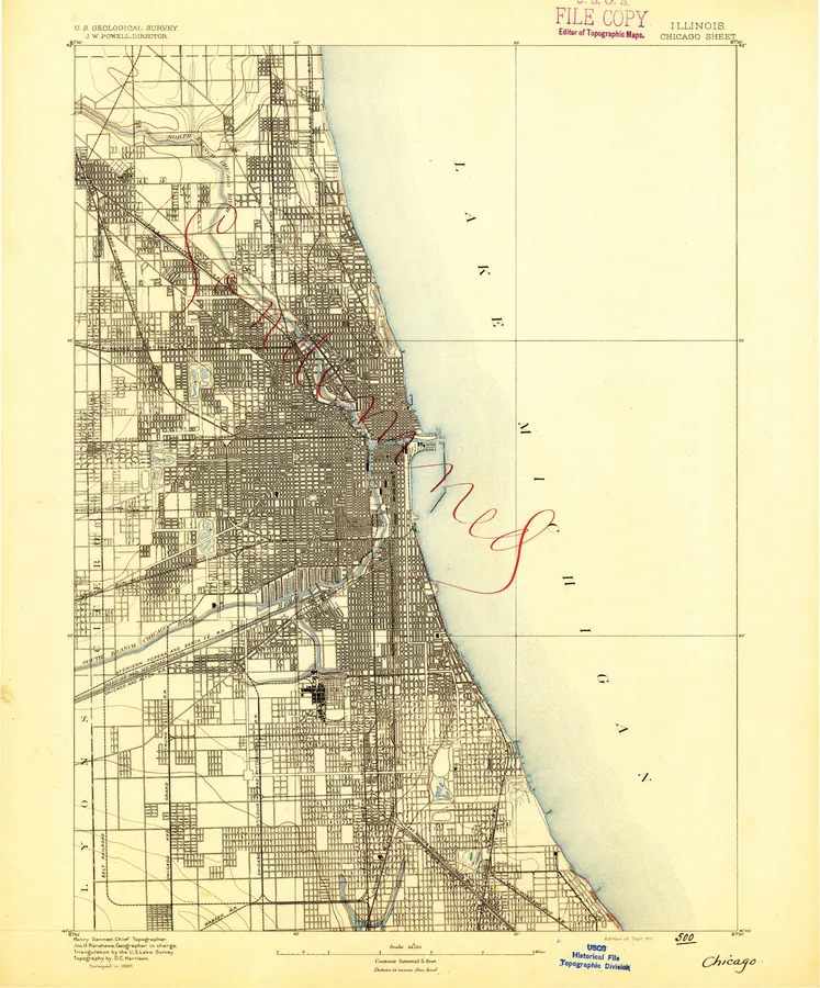 Chicago, IL15 editions, 1889 to 1980
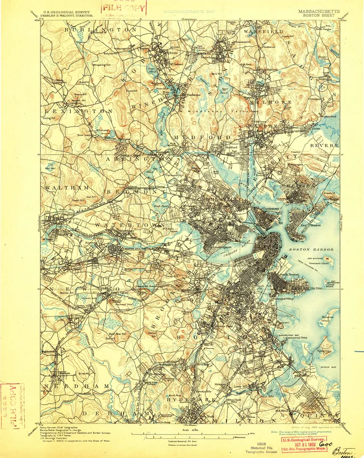 Boston, MA33 editions, 1893 to 1989
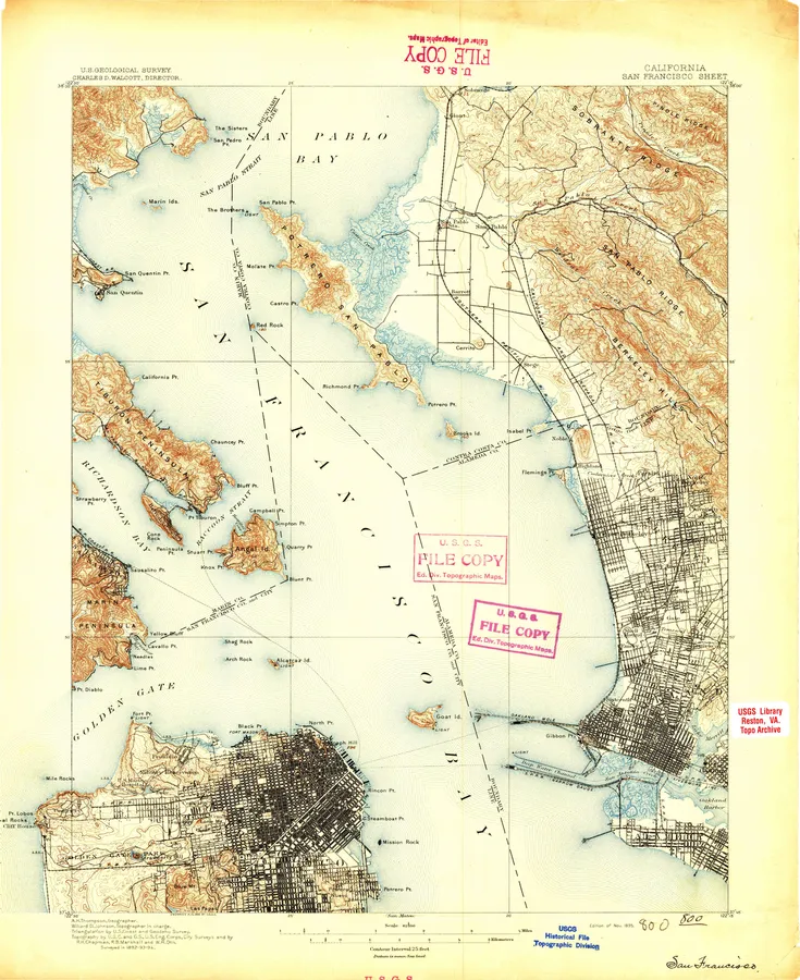 San Francisco, CA29 editions, 1895 to 1985
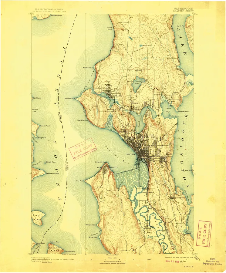 Seattle, WA18 editions, 1894 to 1992
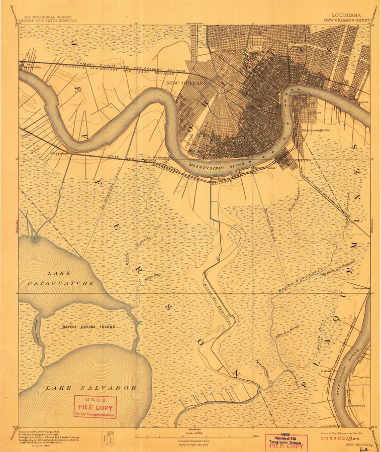 New Orleans, LA16 editions, 1891 to 1983
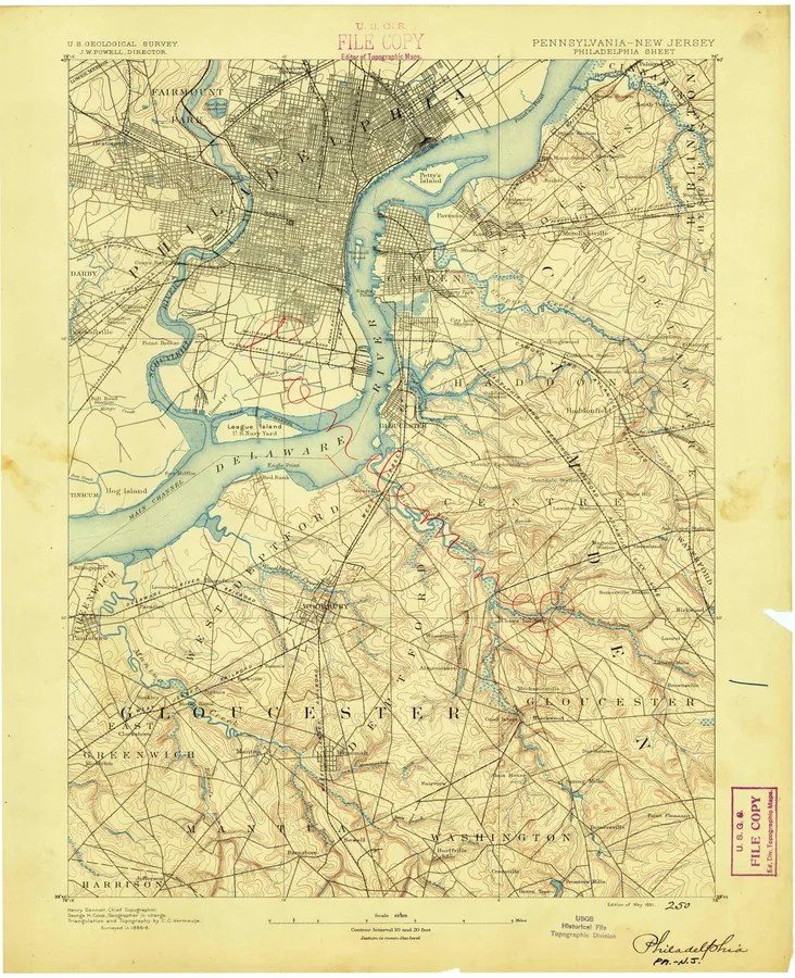 Philadelphia, PA23 editions, 1891 to 1995
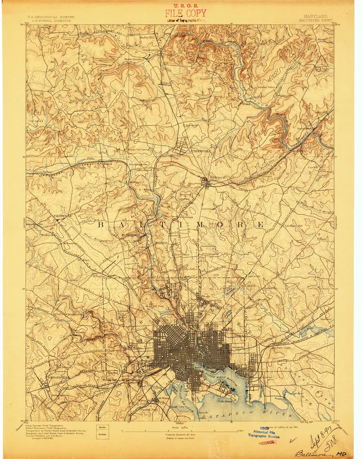 Baltimore, MD29 editions, 1894 to 1989
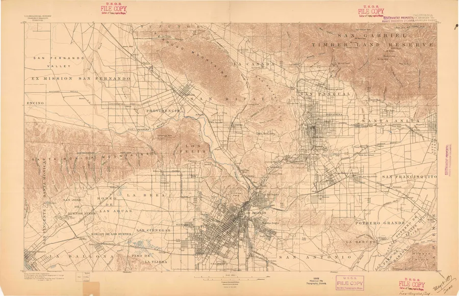 Los Angeles, CA23 editions, 1894 to 1979
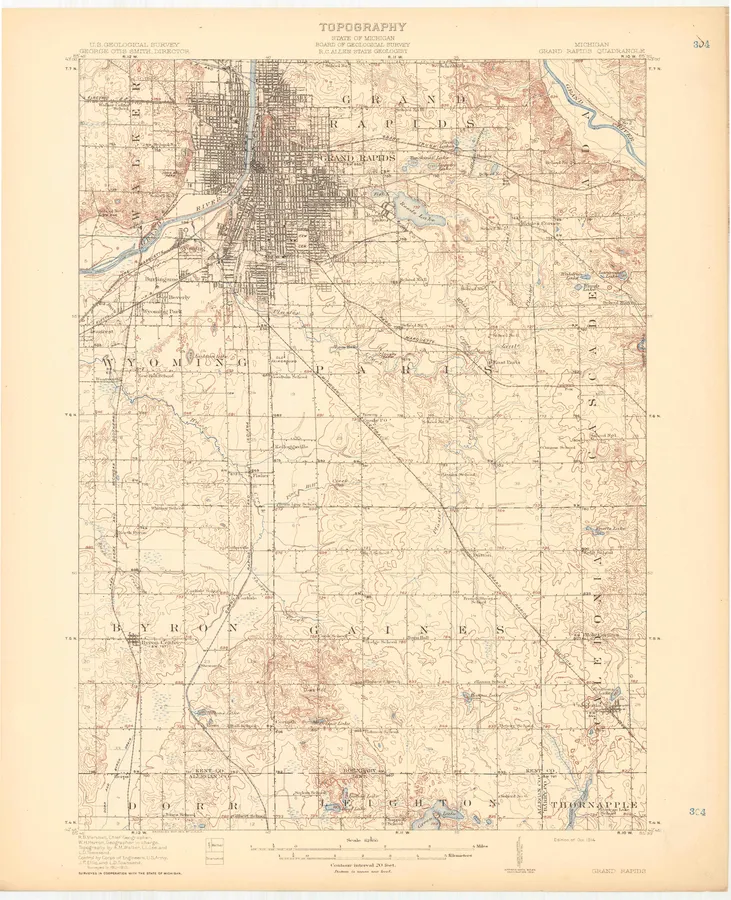 Grand Rapids, MI12 editions, 1914 to 1984
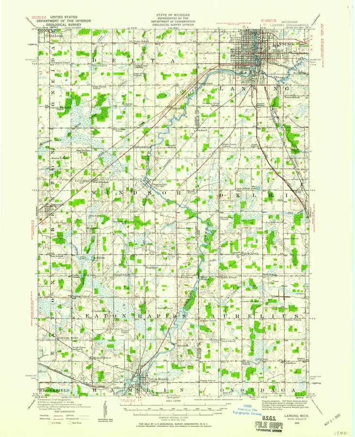 Lansing, MI6 editions, 1910 to 1983
Browse by state
- Alabama 954
- Alaska 3,233
- American Samoa 6
- Arizona 2,241
- Arkansas 986
- California 3,462
- Colorado 1,917
- Connecticut 112
- Delaware 47
- District of Columbia 4
- Federated States of Micronesia 17
- Florida 1,133
- Georgia 1,020
- Guam 9
- Hawaii 177
- Idaho 1,716
- Illinois 1,091
- Indian Territory 17
- Indiana 682
- Iowa 1,058
- Kansas 1,482
- Kentucky 746
- Louisiana 1,091
- Maine 1,010
- Maryland 266
- Massachusetts 229
- Michigan 1,458
- Minnesota 1,760
- Mississippi 845
- Missouri 1,327
- Montana 3,007
- Nebraska 1,459
- Nevada 2,067
- New Hampshire 215
- New Jersey 182
- New Mexico 2,096
- New York 1,046
- North Carolina 941
- North Dakota 1,415
- Northern Mariana Islands 3
- Ohio 813
- Oklahoma 1,247
- Oregon 1,999
- Pennsylvania 894
- Puerto Rico 286
- Republic of Palau 12
- Rhode Island 31
- South Carolina 565
- South Dakota 1,464
- Tennessee 807
- Texas 4,671
- Utah 1,876
- Vermont 211
- Virgin Islands 8
- Virginia 849
- Washington 1,595
- West Virginia 486
- Wisconsin 1,216
- Wyoming 1,878
About these maps
The U.S. Geological Survey has mapped the country since 1879. Its topographic sheets show the land as surveyors found it: contour lines, rivers and lakes, roads and rail lines, and on many sheets every house, school and church as a small black square.
The maps are public domain, made by the U.S. Geological Survey. We print reproductions of the published sheets from the scans USGS makes available. We are not affiliated with or endorsed by the U.S. Geological Survey.
Each sheet is named after a town or landmark on it, so your town may sit on a sheet with a neighbor's name. Search by county, or use your location, and we'll list every sheet that covers it.