
Old maps of Massachusetts
229 places, 2,742 USGS topographic maps from 1885 to 1998. Pick a town to see every edition.
Prepared in Massachusetts
29 with full previews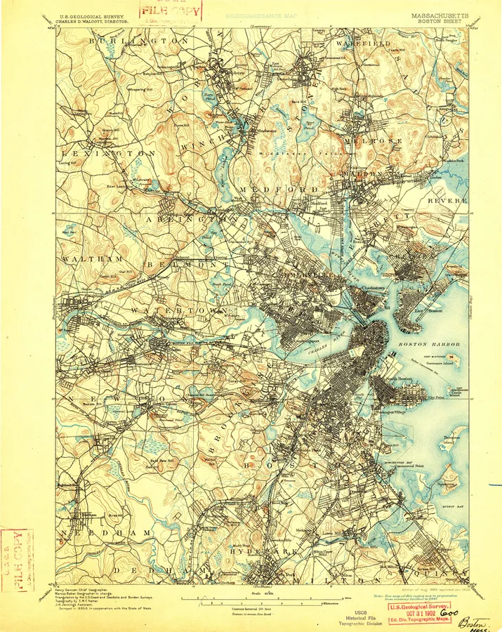
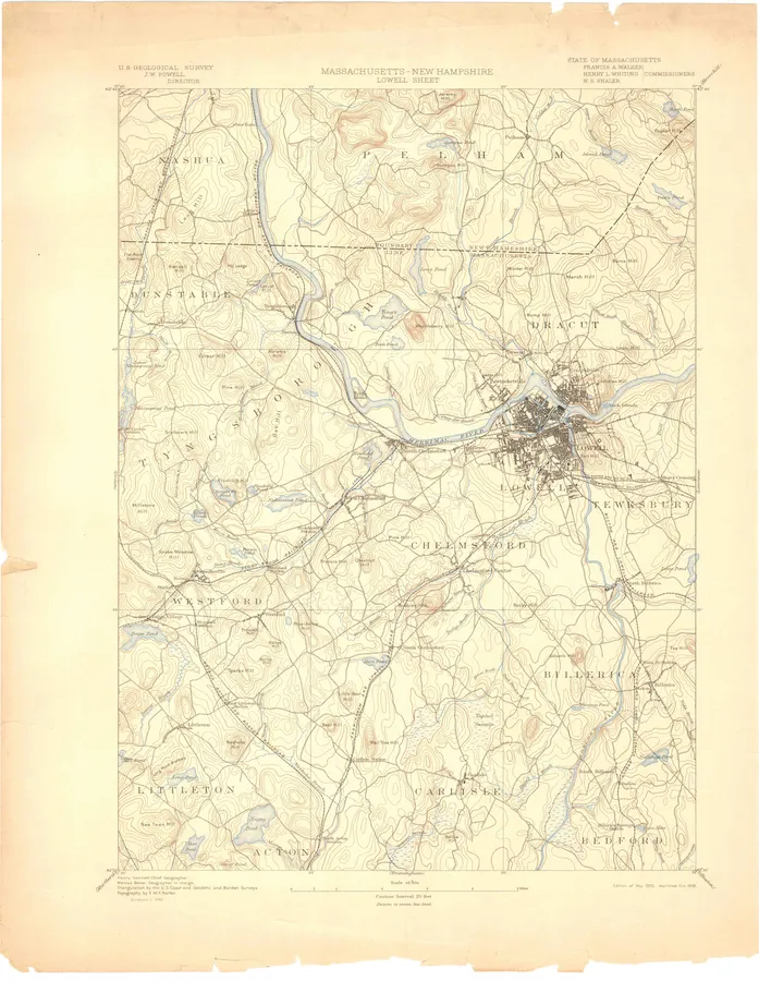
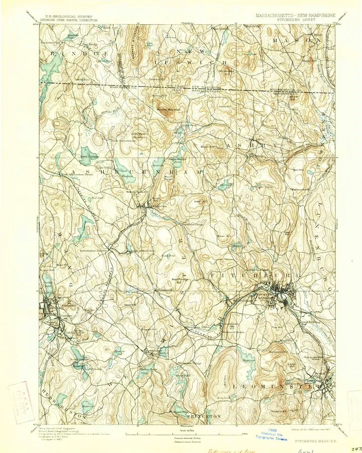
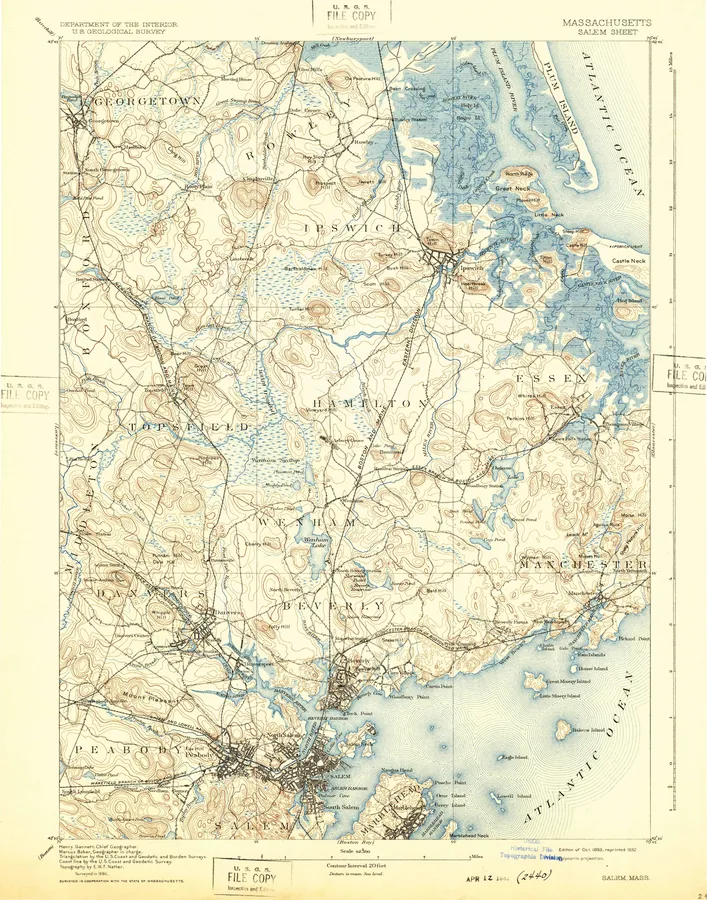
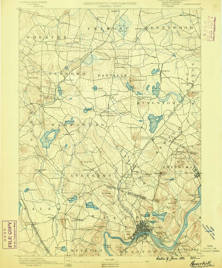
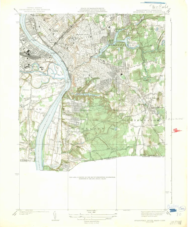
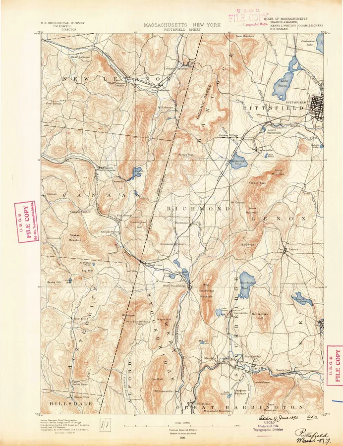
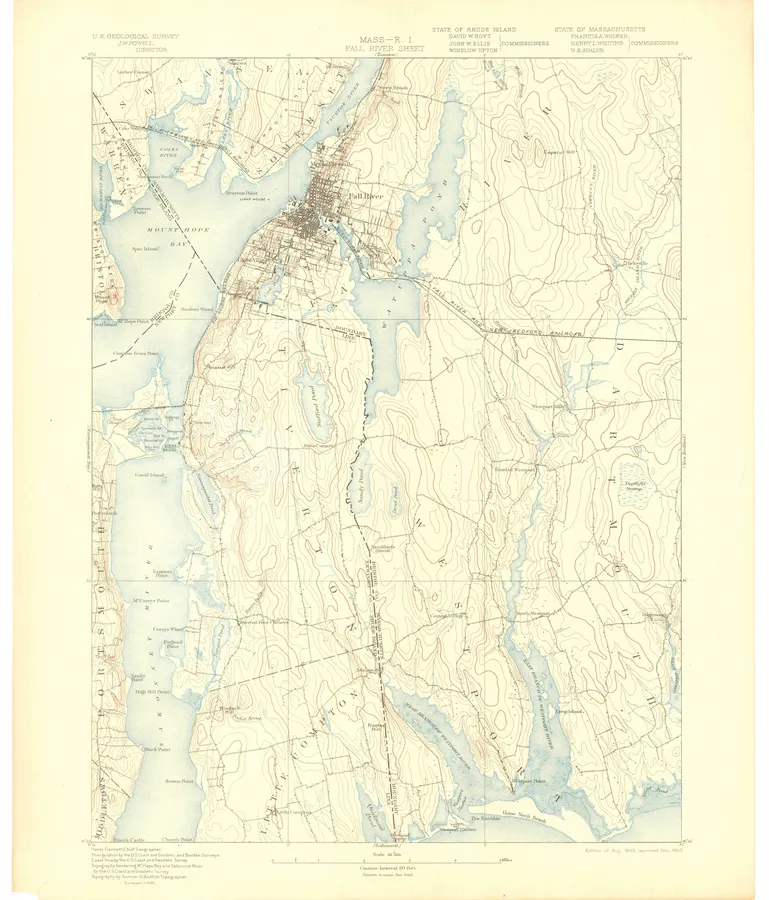
Massachusetts, A to Z
Number of editions after each name; ● full previewA
- Abington 12
- Ashburnham 14
- Ashby 10
- Ashfield 12
- Ashley Falls 14
- Assawompset Pond 9
- Assonet 10
- Athol 10
- Attleboro 11 ●
- Ayer 13
B
- Barnstable 9
- Barre 20
- Bash Bish Falls 1
- Bashbish Falls 11
- Becket 20
- Belchertown 21
- Berlin 2
- Bernardston 16
- Billerica 10
- Blackstone 30
- Blandford 10
- Blue Hills 12
- Boston 33 ●
- Boston Bay 13
- Boston North 13 ●
- Boston South 13 ●
- Bridgewater 10
- Brockton 11 ●
- Brookfield 12
C
E
F
- Fairhaven 2
- Fall River 25 ●
- Fall River East 7 ●
- Falmouth 28
- Feeding Hills 1
- Fitchburg 28 ●
- Framingham 24 ●
- Franklin 28
G
- Gardner 8
- Gay Head 9
- Georgetown 8
- Gloucester 14
- Goshen 12
- Grafton 12
- Granville 11
- Great Barrington 11
- Great Point 10
- Greenfield 22
- Greylock 13
- Groton 13
H
I
- Ipswich 13
K
- Keene 1
M
- Manomet 9
- Mansfield 10
- Marblehead North 8
- Marblehead South 8
- Marion 10
- Marlboro 17
- Marlborough 6
- Marthas Vineyard 12
- Maynard 12
- Medfield 14
- Middleboro 13
- Milford 10
- Millbury 1
- Millers Falls 10
- Monomoy Point 11
- Monson 10
- Monterey 9
- Mount Toby 1
- Mount Tom 7
- Mt Grace 11
- Mt Holyoke 15
- Mt Toby 10
- Mt Tom 6
- Muskeget 8
N
- Nantasket 6
- Nantasket Beach 4
- Nantucket 21
- Nashua South 2
- Natick 13
- Nauset 1
- Naushon Island 11
- New Bedford 14 ●
- New Bedford North 9 ●
- New Bedford South 9 ●
- Newburyport 12
- Newburyport East 9
- Newburyport West 12
- Newton 11 ●
- North Adams 13
- North Brookfield 12
- North Truro 10
- Northampton 14
- Northfield 15
- Norton 9
- Norwood 13
P
- Palmer 24
- Paxton 9
- Pepperell 9
- Peru 9
- Petersham 9
- Pittsfield 17 ●
- Pittsfield East 11 ●
- Pittsfield West 14 ●
- Plainfield 11
- Plymouth 26
- Plympton 12
- Pocasset 14
- Providence 13
- Provincetown 24
S
- Sagamore 13
- Salem 28 ●
- Sandisfield 3
- Sandwich 15
- Scituate 14
- Sconticut Neck 9
- Sheffield 14
- Shelburne Falls 10
- Shirley 14
- Shrewsbury 11
- Shutesbury 14
- Siasconset 14
- Snipatuit Pond 10
- Somerset 11
- South Dartmouth 1
- South Groveland 9
- South Sandisfield 9
- Southbridge 16
- Southwick 16
- Springfield 15 ●
- Springfield North 13 ●
- Springfield South 18 ●
- Squibnocket 12
- State Line 1
- Sterling 15
- Stockbridge 12
T
U
- Uxbridge 14
V
W
- Wachusett Mtn 13
- Wales 11
- Ware 11
- Wareham 13
- Warren 11
- Warwick 11
- Webster 23
- Wellfleet 22
- West Granville 11
- West Springfield 16
- Westford 11
- Westhampton 8
- Westport 15
- Weymouth 12
- Whitman 11
- Williamsburg 13
- Williamstown 13
- Wilmington 9
- Winchendon 26
- Windsor 9
- Winsor Dam 11
- Woods Hole 12
- Worcester 13 ●
- Worcester North 13 ●
- Worcester South 13 ●
- Woronoco 9
- Worthington 7
- Wrentham 8
Y
- Yarmouth 9
Every sheet here is a public domain map made by the U.S. Geological Survey. We print reproductions of the published sheets from USGS's scans. We are not affiliated with or endorsed by the U.S. Geological Survey.