
Old maps of New Hampshire
215 places, 954 USGS topographic maps from 1893 to 2000. Pick a town to see every edition.
Prepared in New Hampshire
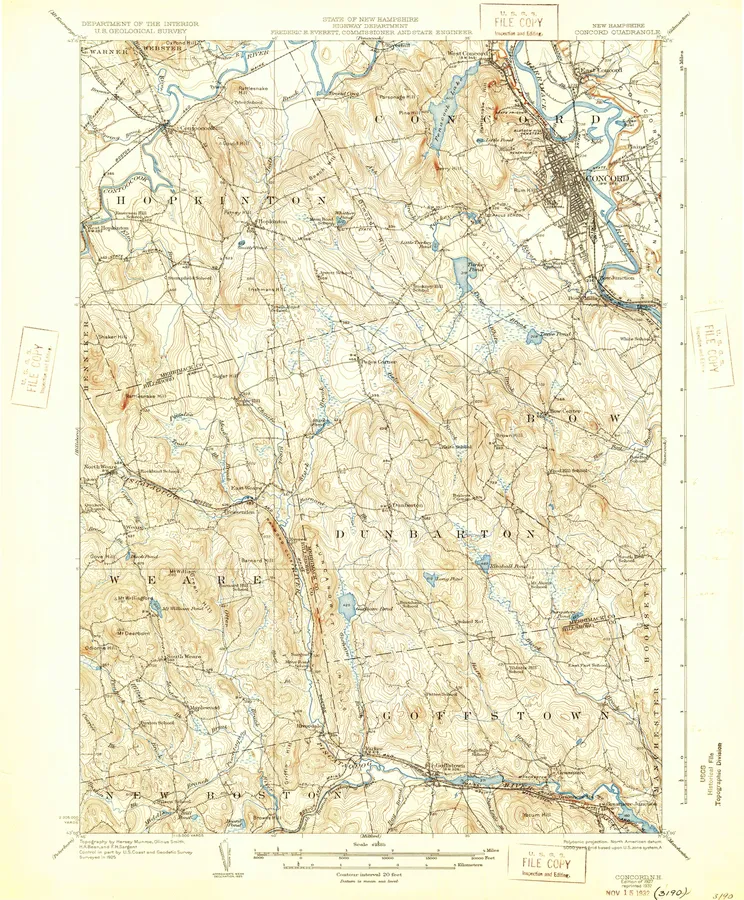
2 with full previews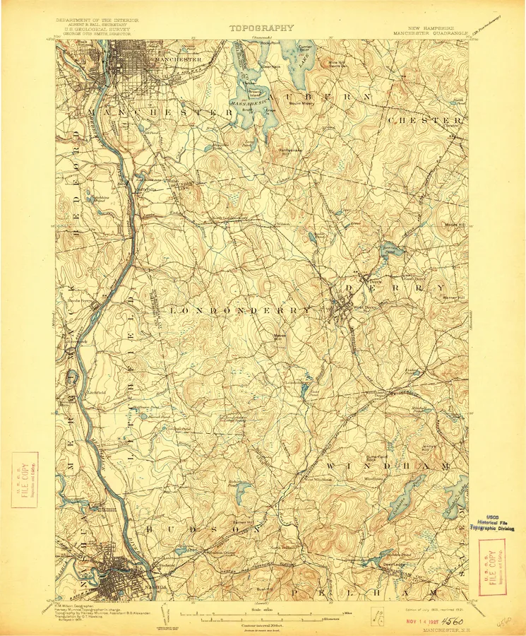
New Hampshire, A to Z
Number of editions after each name; ● full previewA
- Alstead 1
- Alton 12
- Andover 2
- Ashland 2
- Ayers Village 6
B
C
D
- Danbury 1
- Deering 2
- Derry 4
- Diamond Pond 3
- Dixville 9
- Dixville Notch 3
- Dover 13
- Dover East 4
- Dover West 10
- Dublin 1
- Dummer Ponds 3
E
F
- Farmington 2
- Franconia 11
- Franklin 2
- Freedom 2
G
H
I
L
M
- Magalloway Mtn 2
- Manchester 11 ●
- Manchester North 4
- Manchester South 5
- Marlborough 3
- Marlow 1
- Mascoma 8
- Melvin Village 1
- Metallak Mountain 1
- Milan 8
- Milford 14
- Milton 2
- Monadnock 22
- Monadnock Mountain 3
- Moosilauke 6
- Mount Carrigain 2
- Mount Chocorua 2
- Mount Crescent 1
- Mount Dartmouth 1
- Mount Kearsarge 6
- Mount Kineo 3
- Mount Moosilauke 1
- Mount Osceola 2
- Mount Pisgah 1
- Mount Tripyramid 2
- Mount Washington 3
- Mt. Cardigan 2
- Mt. Chocorua 10
- Mt. Cube 9
- Mt. Kearsarge 4
- Mt. Moosilauke 3
- Mt. Osceola 2
- Mt. Pawtuckaway 15
- Mt. Pisgah 1
- Mt. Washington 18
N
O
- Ossipee 2
- Ossipee Lake 14
P
S
- Salem Depot 5
- Sanbornville 2
- Sandown 3
- Second Connecticut Lake 5
- Second Lake 7
- Shelburne 4
- Sherbrooke 2
- Silver Lake 2
- Smarts Mountain 2
- Somersworth 1
- South Merrimack 4
- South Twin Mountain 1
- South Twin Mtn 3
- Spofford 1
- Squam Mountains 3
- Stairs Mountain 3
- Stark 3
- Stoddard 2
- Stratford 1
- Success Pond 2
- Sugar Hill 4
- Sunapee 14
- Sunapee Lake North 1
- Sunapee Lake South 1
- Suncook 13
Every sheet here is a public domain map made by the U.S. Geological Survey. We print reproductions of the published sheets from USGS's scans. We are not affiliated with or endorsed by the U.S. Geological Survey.