
Old maps of New Jersey
182 places, 1,373 USGS topographic maps from 1884 to 1998. Pick a town to see every edition.
Prepared in New Jersey
10 with full previews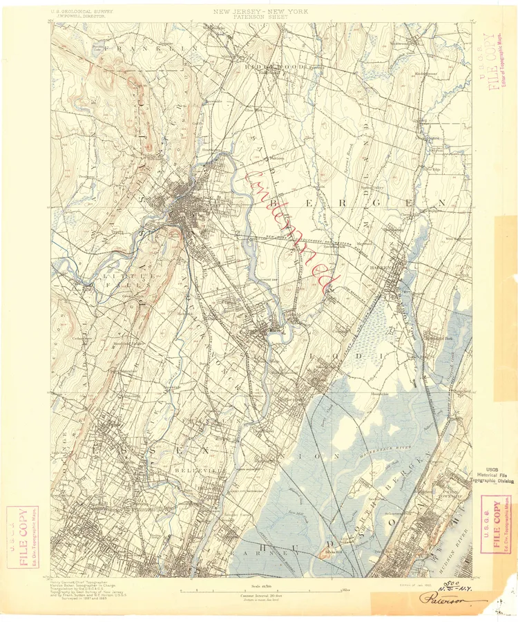
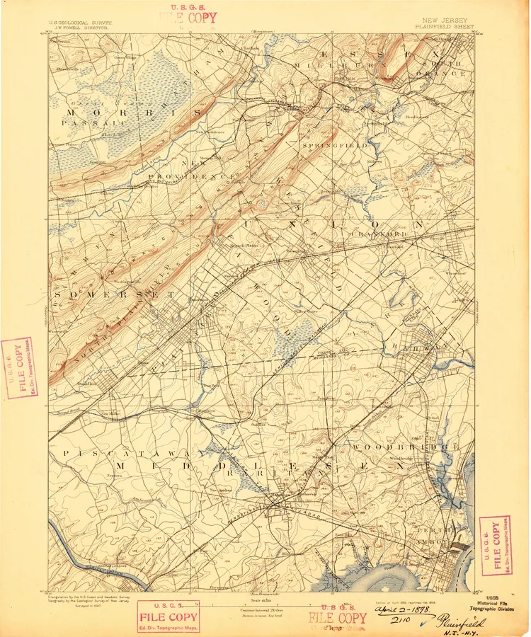
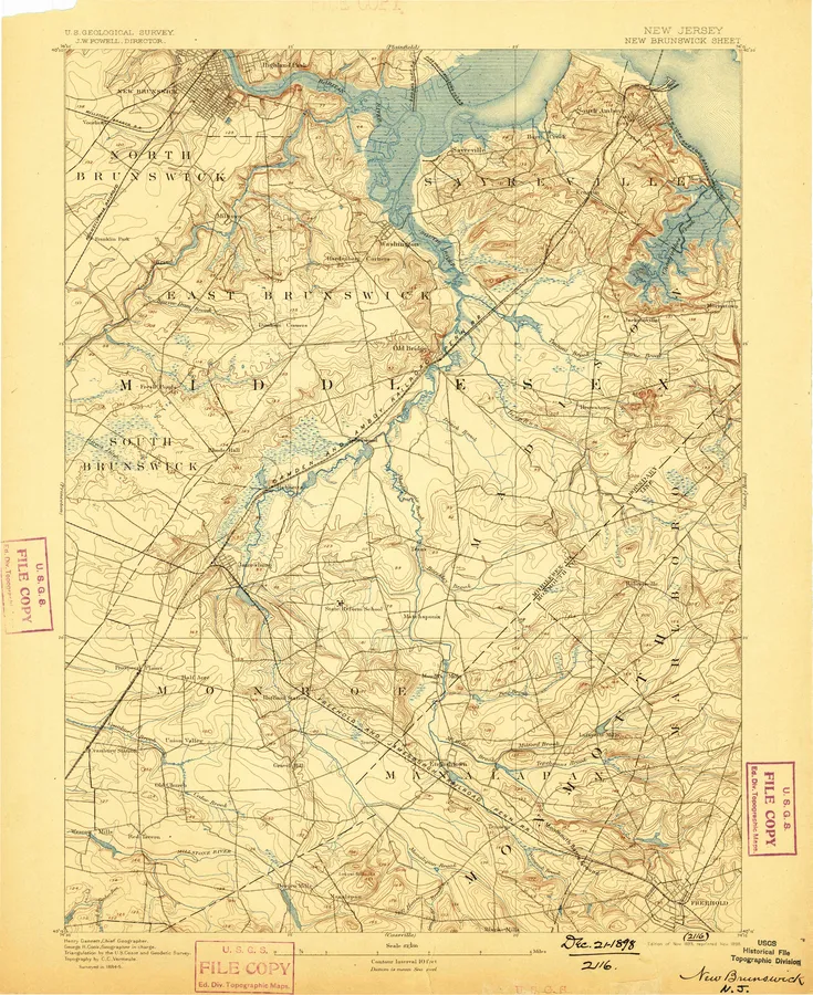
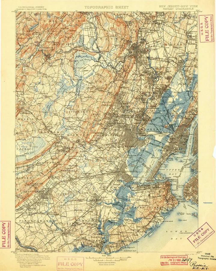
New Jersey, A to Z
Number of editions after each name; ● full previewA
- Adelphia 7
- Allentown 6
- Alloway 3
- Asbury Park 17
- Atlantic City 20
- Atsion 7
- Avalon 5
B
C
- Cakepoulin Creek 2
- Caldwell 8
- Califon 6
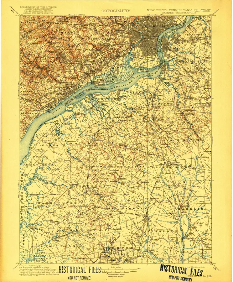
- Camden 14 ●
- Camp Dix 2
- Canton 6
- Cape May 18
- Cassville 10
- Cedarville 6
- Chatham 10
- Chatsworth 7
- Chester 9
- Clementon 7
- Columbus 7
- Culvers Gap 6
F
H
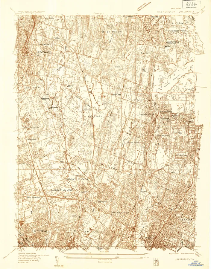
- Hackensack 10 ●
- Hackettstown 14
- Hamburg 5
- Hammonton 18
- Harlem 1
- Heislerville 4
- High Bridge 14
- Hightstown 7
- Hopewell 4
I
K
L
M
N
- Navesink 3
- New Brunswick 17 ●
- New Egypt 7
- New Gretna 7
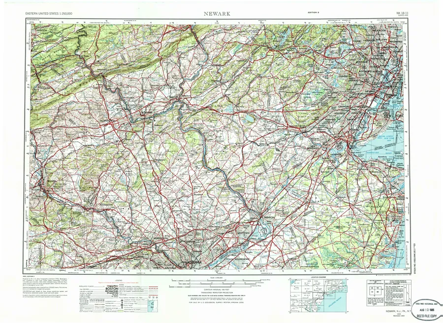
- Newark 17 ●
- Newfield 7
- Newfoundland 8
- Newton East 7
- Newton West 5
- Newtonville 5
P
R
- Ramapo 7
- Ramsey 11
- Rancocas 2
- Raritan 11
- Rio Grande 7
- Rocky Hill 6
- Roosevelt 8
- Roselle 8
- Runnemede 8
S
T
- Toms River 13
- Tranquility 6
- Trenton 6 ●
- Trenton East 9
- Trenton West 5 ●
- Tuckahoe 13
- Tuckerton 9
V
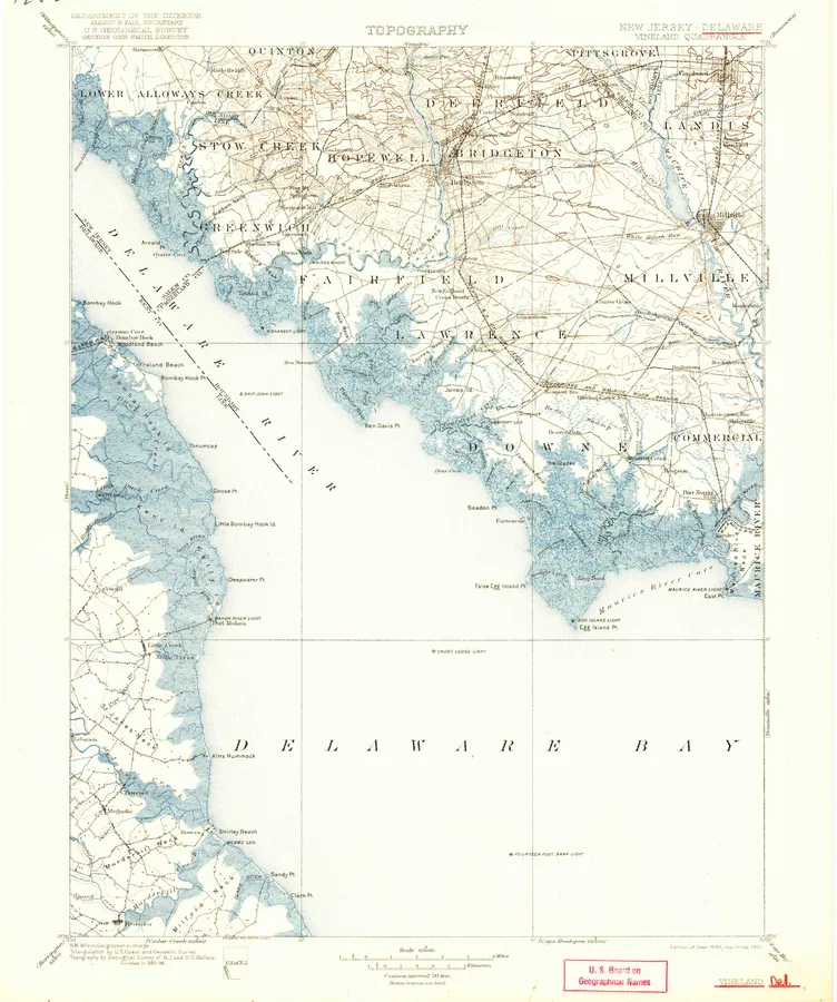
- Vineland 4 ●
W
Y
- Yonkers 5
Every sheet here is a public domain map made by the U.S. Geological Survey. We print reproductions of the published sheets from USGS's scans. We are not affiliated with or endorsed by the U.S. Geological Survey.