
Old maps of Rhode Island
31 places, 306 USGS topographic maps from 1885 to 2001. Pick a town to see every edition.
Prepared in Rhode Island
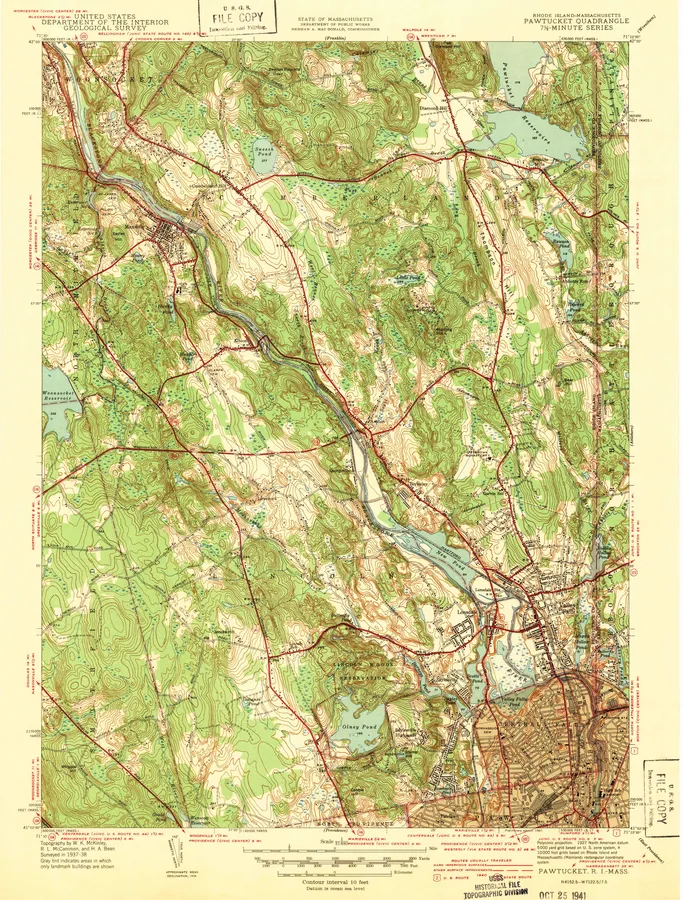
2 with full previews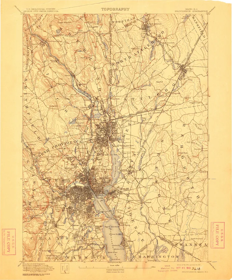
Rhode Island, A to Z
Number of editions after each name; ● full previewA
- Ashaway 3
B
- Block Island 13
- Bristol 12
- Burrillville 9
C
- Carolina 10
- Charlestown 11
- Chepachet 9
- Clayville 10
- Coventry 4
- Coventry Center 5
- Crompton 8
G
H
- Hope Valley 11
P
- Pawtucket 13 ●
- Providence 23 ●
- Prudence Island 10
S
- Sakonnet 8
- Sakonnet Point 7
- Slocum 10
T
- Tiverton 8
W
- Watch Hill 10
- Wickford 8
Every sheet here is a public domain map made by the U.S. Geological Survey. We print reproductions of the published sheets from USGS's scans. We are not affiliated with or endorsed by the U.S. Geological Survey.