
Old maps of Galveston, Texas
USGS topographic map · 1:24,000
Galveston, 1930
Galveston sheet, Texas. The oldest edition.
$209
$156.75 with the Black Friday sale (25% off at checkout)
Free shipping to the lower 48 states
Made from USGS's 6,913 × 8,346-pixel scan of the printed sheet, about 298 pixels per inch for a 23 × 28 in picture. We only offer sizes the scan supports.
Printed to order from the full scan and checked before it ships.
Why ours costs more than a big-box print
| Ours | Many low-cost prints |
|---|---|
| Pigment inks on 100% cotton paper, 330 gsm (our fine-art paper) | Thin poster paper |
| Solid wood frames, 26 styles, 4-ply bevel-cut mats | Plastic or fiberboard frames |
| Printed when you order it by a fine-art print lab in the US, checked before it ships | Made in bulk ahead of time |
Canvas is stretched over solid wood bars, and framed, canvas and metal pieces come with the hanging hardware fitted. We only offer the sizes each picture prints sharply at. Free US shipping, 30-day returns.
Up close
Real photos of what you have chosen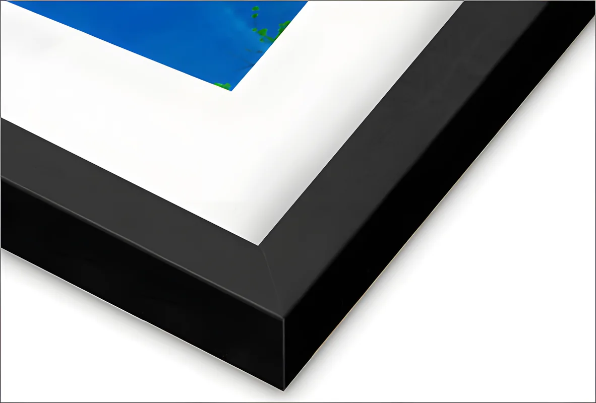
Black wood frame: the corner, 1.25 in wide and 0.875 in deep.
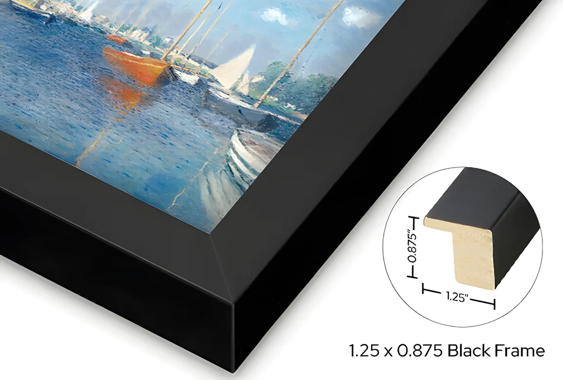
Black wood: the same moulding, shown on a canvas, with its profile and measurements.

White mat board.
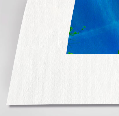
Cotton paper, smooth (Hot Press): the paper's surface.
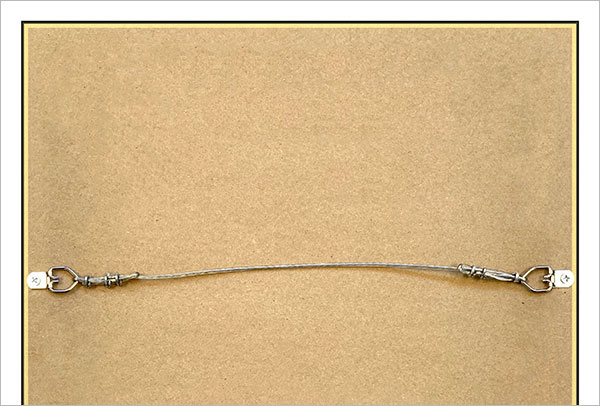
The back: hanging wire.
Black wood, cut through: 1.25 in wide and 0.875 in deep. Drawn to scale from the frame maker’s profile drawing, in your color. The acrylic, mat and print sit in the rabbet under the lip.
What you get
Printed on fine-art paper, behind clear acrylic, in a solid wood frame. Arrives ready to hang.
- Size: 29.5 × 34.5 in
- Map: 23 × 28 in
- Black wood frame in solid wood, 1.25 in wide and 0.875 in deep
- White mat, 2 in on each side, 4-ply with a bevel-cut window
- Printed with pigment inks on cotton fine-art paper (100% cotton, 330 gsm, smooth matte)
- Clear acrylic front, lighter and safer to ship than glass
- Dry-mounted flat to foam board
- Hanging wire fitted, ready to hang
- Scale
- 1:24,000, about 2000 feet to the inch
- Original sheet
- 23 × 27.8 in, scanned 6,913 × 8,346 px
- Release
- Advance edition
Map: U.S. Geological Survey, Galveston quadrangle, 1930, 1:24,000. Public domain. We are not affiliated with or endorsed by the U.S. Geological Survey.
Every edition (9)
Tap one to see it above. Editions marked “small preview” are printed from the full scan we prepare after you order.
About the maps of Galveston
The U.S. Geological Survey published 9 maps under the name Galveston, 1930 to 1994, at 3 scales: the 1:100,000 sheets cover a wide area around Galveston, the 1:24,000 sheets show it in the most detail. Each sheet shows the roads, rail lines, rivers, contours and buildings of its day, so laying two years side by side shows what changed.
What we print
The whole published sheet, border, title and legend included, from USGS's 300 dpi scan. We don't redraw or recolor anything: stamps, fold marks and the paper's age show as they are in the scan. Sizes stop where the scan stops printing sharply.
Where the maps come from
These are public domain maps made by the U.S. Geological Survey, from its Historical Topographic Map Collection. We print reproductions; we are not affiliated with or endorsed by the U.S. Geological Survey.
Can't see your street?
Sheets are named after one town or landmark on them, so a neighborhood can sit on a sheet with another name. Search by county or use your location to list every sheet that covers it.