
Old maps of Vermont
211 places, 935 USGS topographic maps from 1889 to 1999. Pick a town to see every edition.
Prepared in Vermont
1 with full previews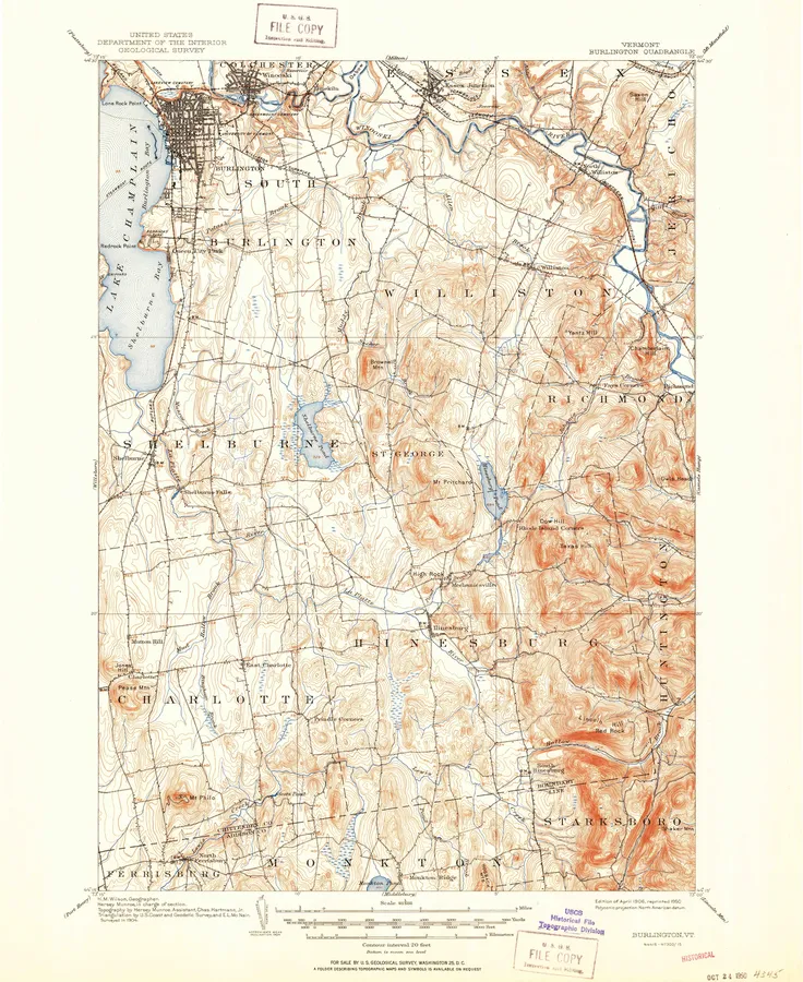
Vermont, A to Z
Number of editions after each name; ● full previewB
C
E
H
I
- Irasburg 11
- Island Pond 12
J
L
M
- Maidstone Lake 1
- Manchester 5
- Marshfield 1
- Memphremagog 9
- Middlebury 11
- Middlesex 2
- Middletown Springs 3
- Miles Pond 3
- Milton 16
- Monadnock Mountain 1
- Monkton 2
- Monkton Boro 1
- Montgomery 2
- Montpelier 14
- Morgan Center 2
- Morrisville 2
- Morses Line Station 1
- Mount Carmel 2
- Mount Ellen 4
- Mount Holly 3
- Mount Mansfield 20
- Mount Philo 4
- Mount Snow 2
- Mount Worcester 3
- Mt. Ascutney 2
N
P
- Pawlet 11
- Peru 3
- Pico Peak 6
- Plainfield 10
- Plymouth 2
- Port Henry 2
- Poultney 4
- Pownal 5
- Proctor 4
Q
- Quechee 6
R
S
- Saxtons River 11
- Seneca Mountain 1
- Sharon 2
- Sheldon Springs 1
- South Hero 1
- South Mountain 4
- South Royalton 2
- South Strafford 2
- Spectacle Pond 2
- Springfield 2
- St. Albans 12
- St. Albans Bay 2
- St. Johnsbury 9
- Stamford 4
- Stannard 1
- Sterling Mountain 3
- Stone Mountain 1
- Stowe 1
- Strafford 11
- Stratton Mountain 1
- Stratton Mtn 3
- Sudbury 4
- Sunderland 2
- Sutton 2
U
V
- Vershire 4
W
- Waitsfield 4
- Wallingford 13
- Warren 4
- Washington 2
- Waterbury 4
- Wells 2
- West Berkshire Station 1
- West Burke 2
- West Charleston 2
- West Dover 2
- West of Norton Port of Entry 1
- West Pawlet 1
- West Rupert 2
- West Rutland 4
- West Topsham 1
- Westminster West 1
- Westmore 2
- Weston 3
- Wilmington 16
- Windsor 1
- Wolcott 2
- Woodbury 2
- Woodford 4
- Woodstock 7
- Woodstock North 5
- Woodstock South 4
- Woodsville 13
Every sheet here is a public domain map made by the U.S. Geological Survey. We print reproductions of the published sheets from USGS's scans. We are not affiliated with or endorsed by the U.S. Geological Survey.