
Old maps of Virginia
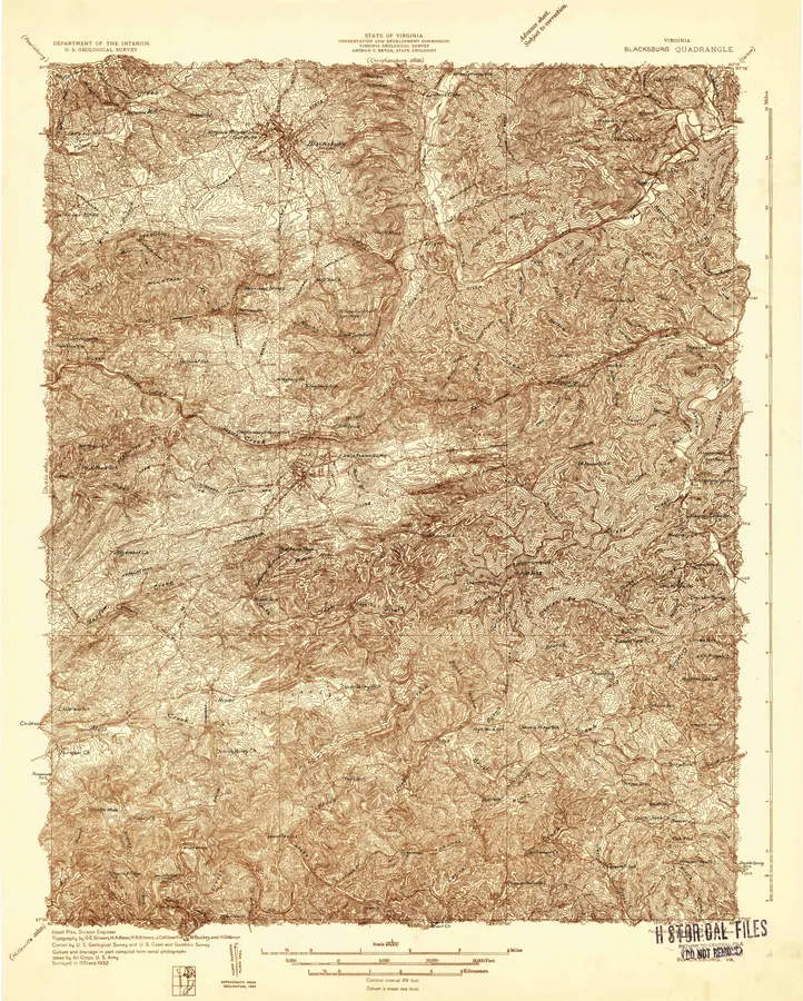
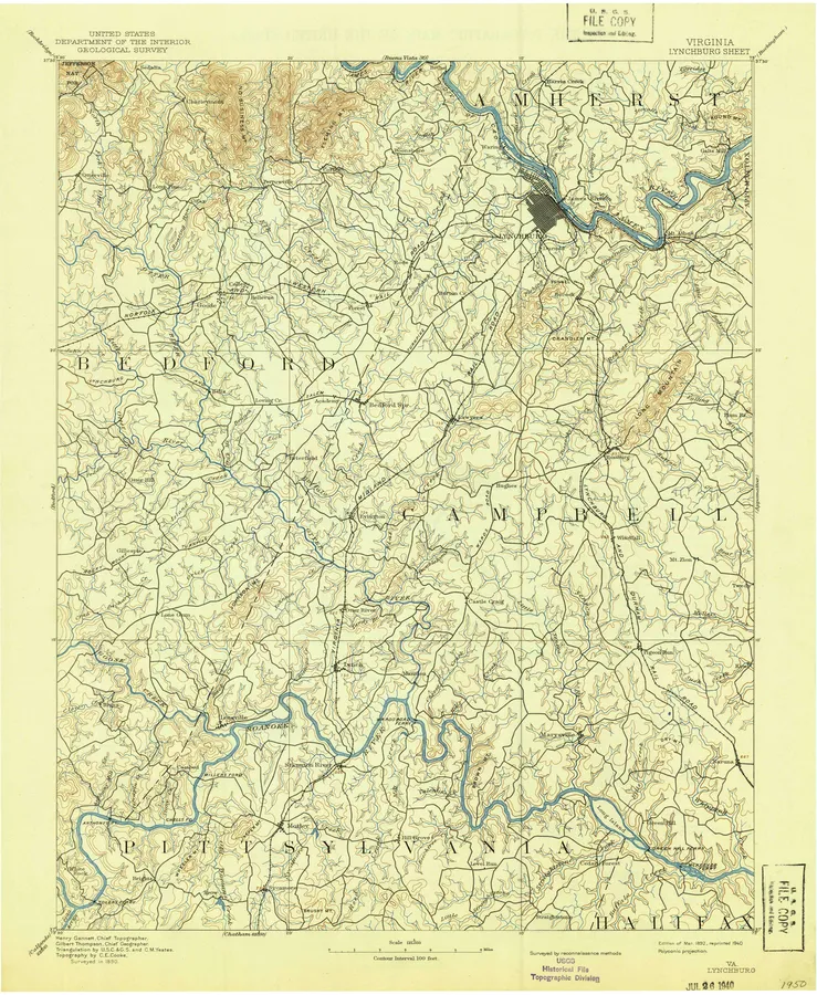
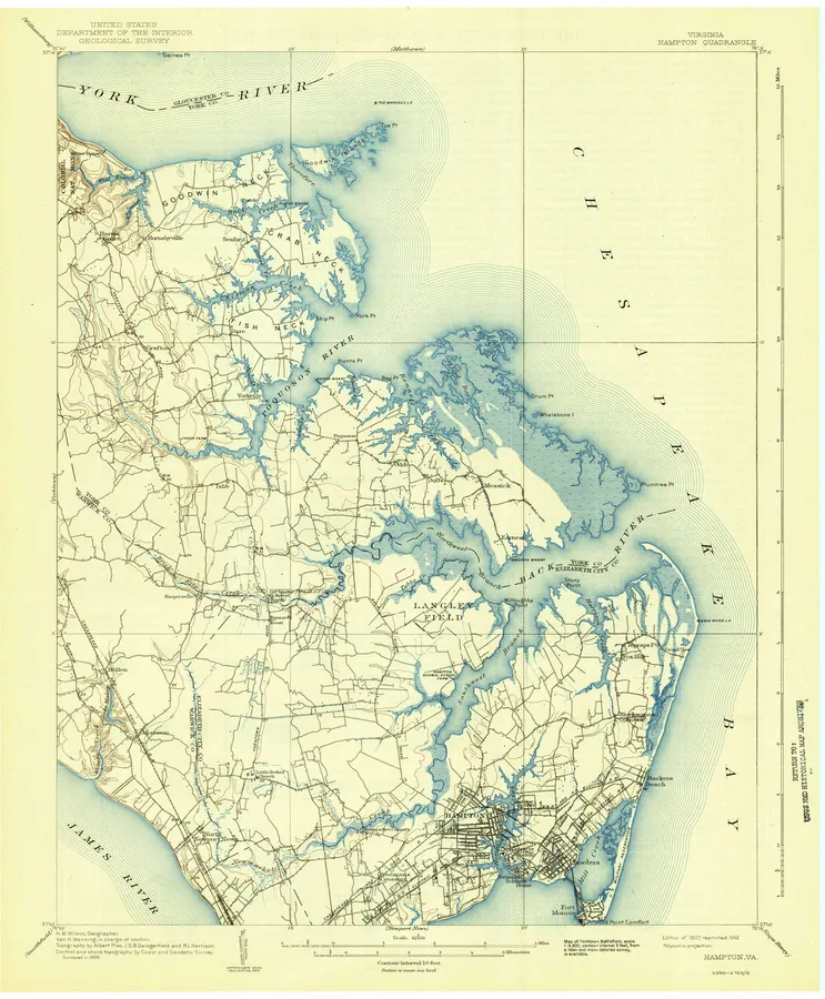
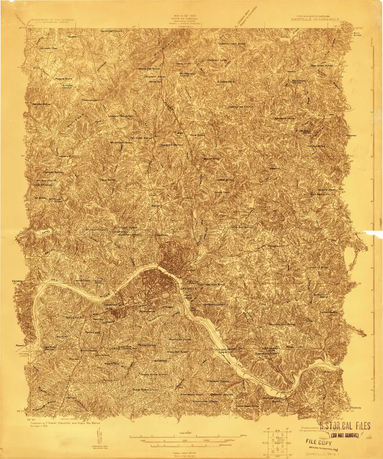
849 places, 4,331 USGS topographic maps from 1884 to 2002. Pick a town to see every edition.
Prepared in Virginia
16 with full previews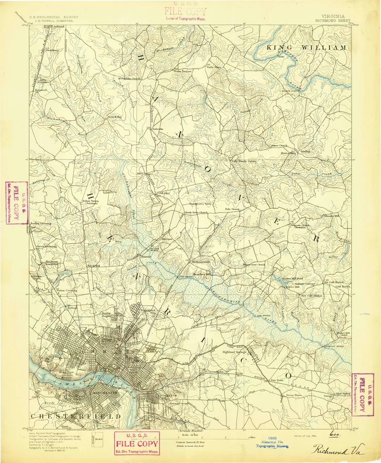
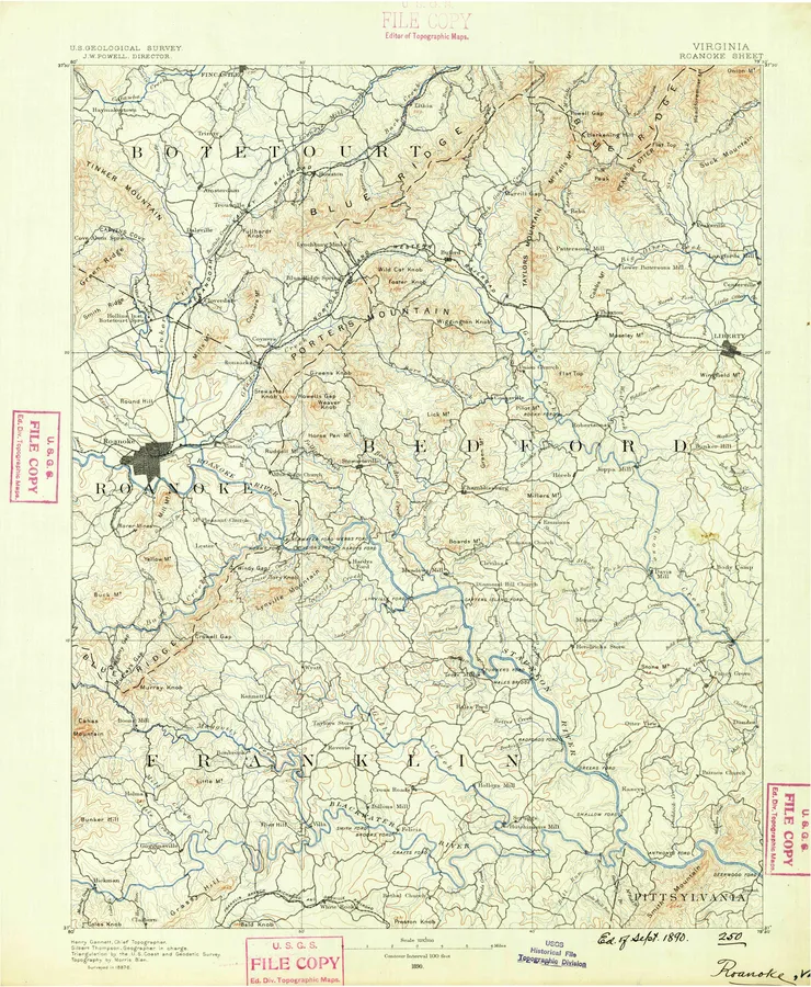
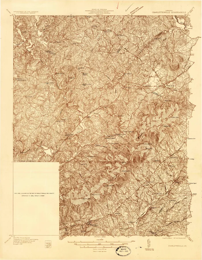
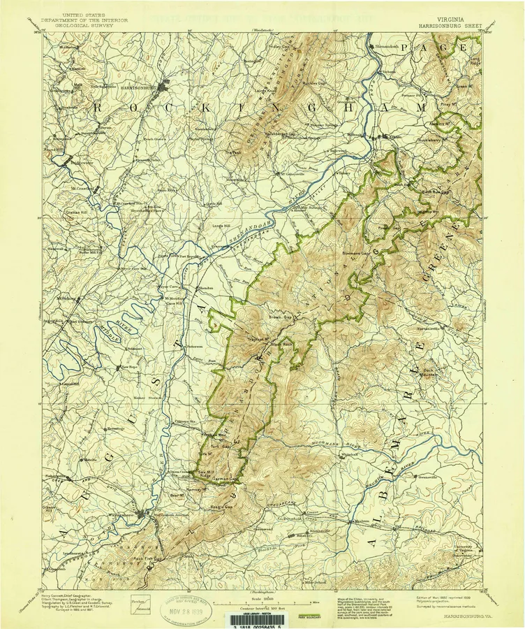
Every sheet here is a public domain map made by the U.S. Geological Survey. We print reproductions of the published sheets from USGS's scans. We are not affiliated with or endorsed by the U.S. Geological Survey.